Flooding in the Missouri Basin
 acquired July 18, 2011
 acquired July 10, 2010
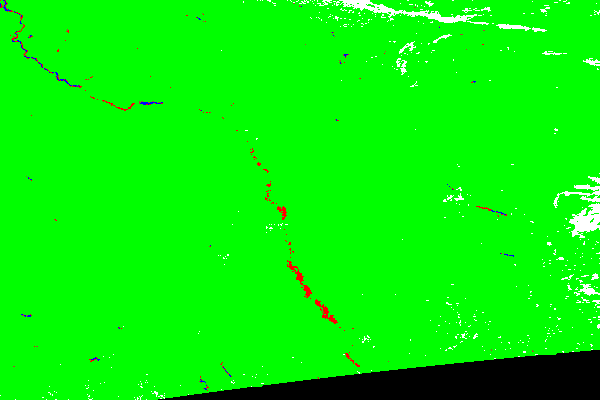
 color-coded flood detection map
In late July 2011, the Missouri River remained flooded along the eastern borders of Nebraska and Kansas, and flooding extended eastward into Missouri. The flooding lingered in the wake of the highest single month of runoff yet recorded for the Missouri River Basin, occurring in June 2011, according to the U.S. Army Corps of Engineers.
The Moderate Resolution Imaging Spectroradiometer (MODIS) on NASA’s Aqua satellite captured the top image on July 18, 2011, and the bottom image on July 10, 2010.
Both images use a combination of visible and infrared light to increase contrast between water and land. Water is navy blue. Depending on land cover, land appears green or brown. Clouds are pale blue-green and cast shadows. In 2011, the Missouri River is visibly swollen from Sioux City, Iowa, to Napoleon, Missouri.
On July 19, 2011, the Advanced Hydrological Prediction Service (AHPS) of the U.S. National Weather Service reported moderate flooding at Sioux City, Iowa, and in or near the Nebraskan communities of Decatur, Blair, Omaha, Plattsmouth, Nebraska City, Brownville, and Rulo. The AHPS also reported moderate flooding in the Kansas communities of Atchison and Leavenworth, and in Napoleon, Missouri. Major flooding persisted in St. Joseph, Missouri, the AHPS reported.
Hamburg, situated in the southwestern corner of Iowa, suffered no flooding from the Nishnabotna River, a Missouri River tributary. However, the city only narrowly escaped inundation by the overflowing Missouri River. A newly built levee helped protect the town.
Given the amount of runoff into the upper Missouri River Basin, the flood waters were not surprising. On July 11, 2011, the Army Corps reported that the runoff into the Missouri River Basin set new records.
Runoff into the Missouri River Basin above Sioux City, Iowa during the month of June was the highest single runoff month since the Corps began keeping detailed records in 1898. The previous record monthly runoff was 13.2 million acre feet in April of 1952. June 2011 runoff into the Missouri River Basin above Sioux City was 13.8 maf, enough water to fill the Memorial Stadium in Lincoln, Nebraska more than 9,700 times, or once every 5 minutes during the entire month.
References
U.S. Army Corps of Engineers. (2011, July 11). Corps: June 2011 was highest single month of runoff into Missouri River basin. (PDF file) Accessed July 19, 2011.
National Weather Service. Advanced Hydrologic Prediction Service. Accessed July 19, 2011.
NASA images courtesy MODIS Rapid Response Team, Goddard Space Flight Center. Caption by Michon Scott.
- Instrument:
- Aqua - MODIS